Stoodleigh
Stoodleigh is a village and civil parish in the Mid Devon district of Devon, England, located 6 miles (10 km) north of Tiverton and 5 miles (8 km) south of Bampton. It is situated 800 feet (240 m) above the Exe Valley, close to the Devon / Somerset border. The centre of the village is a conservation area.
In the past it formed part of Witheridge Hundred and it is within the Tiverton Deanery of the Church of England.
https://en.wikipedia.org/wiki/Stoodleigh
Stoodleigh Parish Council
https://www.middevonparish.co.uk/stoodleigh
Lockdown Necessities
Weather
https://www.metoffice.gov.uk/weather/forecast/gcj6p34eg (Oakfordbridge)
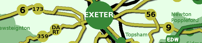
OpenStreetMap
https://www.openstreetmap.org/search?query=Stoodleigh#map=14/50.9589/-3.5425
Devon County Council Map Viewer
Information on Devon's environment has been mapped on our Environment Viewer. These maps give access to spatial (geographic) data for Devon on a wide range of topics.
Genuki
GENUKI provides a virtual reference library of genealogical information of particular relevance to the UK and Ireland. It is a non-commercial service, maintained by a charitable trust and a group of volunteers.
https://www.genuki.org.uk/big/eng/DEV/Stoodleigh
Tithe Map
The tithe maps and apportionments are an important source of information about the history and topography of a parish. They provide details of land ownership and occupation, and the type of cultivation of the land, and are often the earliest complete maps of parishes.
https://www.devon.gov.uk/historicenvironment/tithe-map/stoodleigh/